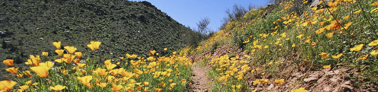


Finding water in the desert is kind of like striking gold. This is especially true for hikers accustomed to desert trail where there’s seldom any water except for than puddles and stock tanks. Not so on the Lake Pleasant-Anthem segment of the Maricopa Trail. The 16-mile stretch of the 317-mile Valley-circling route passes by an important water resource hub. Located south of lake Pleasant Regional Park, the Agua Fria trailhead serves as the launch point for an interesting hike that moves from a sparsely populated watershed area to the busy suburbs of the north Valley. There’s a map kiosk and pay station at the trailhead, but you’ll only need to pay the $7 fee if you intend to take the 2.7-mile spur trail north into the park. This hike heads east (go right at the map sign) along a dirt single track that soon crosses a paved road where several signs point to the where the Maricopa Trail turns south toward the White Tank Mountains. Pay attention here because the route you want follows the road a few yards farther where a small sign post hidden among mesquite trees marks where the trail leaves the road and continues uphill. The path ascend the banks of the Waddell Canal topping out over its terminus with great views of the Waddell Dam and the lower lake beneath it. Standing 300 feet above the Agua Fria riverbed, the 4,700-foot-long dam that contains Lake Pleasant’s 10,000-acre surface is an impressive sight. Another short uphill section lands hikers on a cholla-cluttered flat with glimpses of the lake peeking out over tall saguaros. Soon, the trail begins a descent into a water-ravaged corridor with steep walls of stream deposits and soft-sand washes. This scenic section winds through thick desert trees and shrubs, crossing the wash several times before it climbs out of the gorge along a cacti-studded ledge. Once out of the drainage, the trail calms down on a flat open area near the Maricopa Water District facilities and the Pleasant Harbor RV park. Here views of the Peoria peaks of Calderwood Butte, East Wing and West Wing mountains standout on the near horizon while the New River and Cave Creek mountain ranges bolster the north horizon. From this point on, the hike is a relatively flat stroll over open desert. If you prefer a less level or shorter day hike, a good option is to turn around at New River Road for a 7.2-mile out and back trip. Otherwise, keep on trekking.
At the 9.2-mile mark, the route makes a sharp turn north and follows the Black Canyon Trail for 1.1 mile before heading east again passing by a pistol range before ducking through a tunnel under Interstate 17 and into suburbs.
LENGTH: 7.2 miles to New River Road and back or 16 miles one way for entire segment
RATING: moderate
ELEVATION: 1,406 – 1,743 feet
GETTING THERE:
Agua Fria Trailhead:
From Interstate 17 in Phoenix, take the State Route 74 (Carefree Highway) exit 223 and go 8.8 mile west on SR 74 to the turn off for the Beardsley CSR access road. Turn right and continue a short distance to the parking area.
FEE: There’s a $7 fee per vehicle if you enter Lake Pleasant Regional Park (not this hike)
INFO & MAP:
https://www.maricopacountyparks.net/things-to-do/activity/maps/
Waddell Dam History: